We address the inefficiency in real estate decision-making processes due to the lack of accessible, accurate mapping data. Real estate professionals struggle with evaluating land potential, monitoring project progress, and showcasing properties effectively, resulting in time and resource wastage
Solution Approach
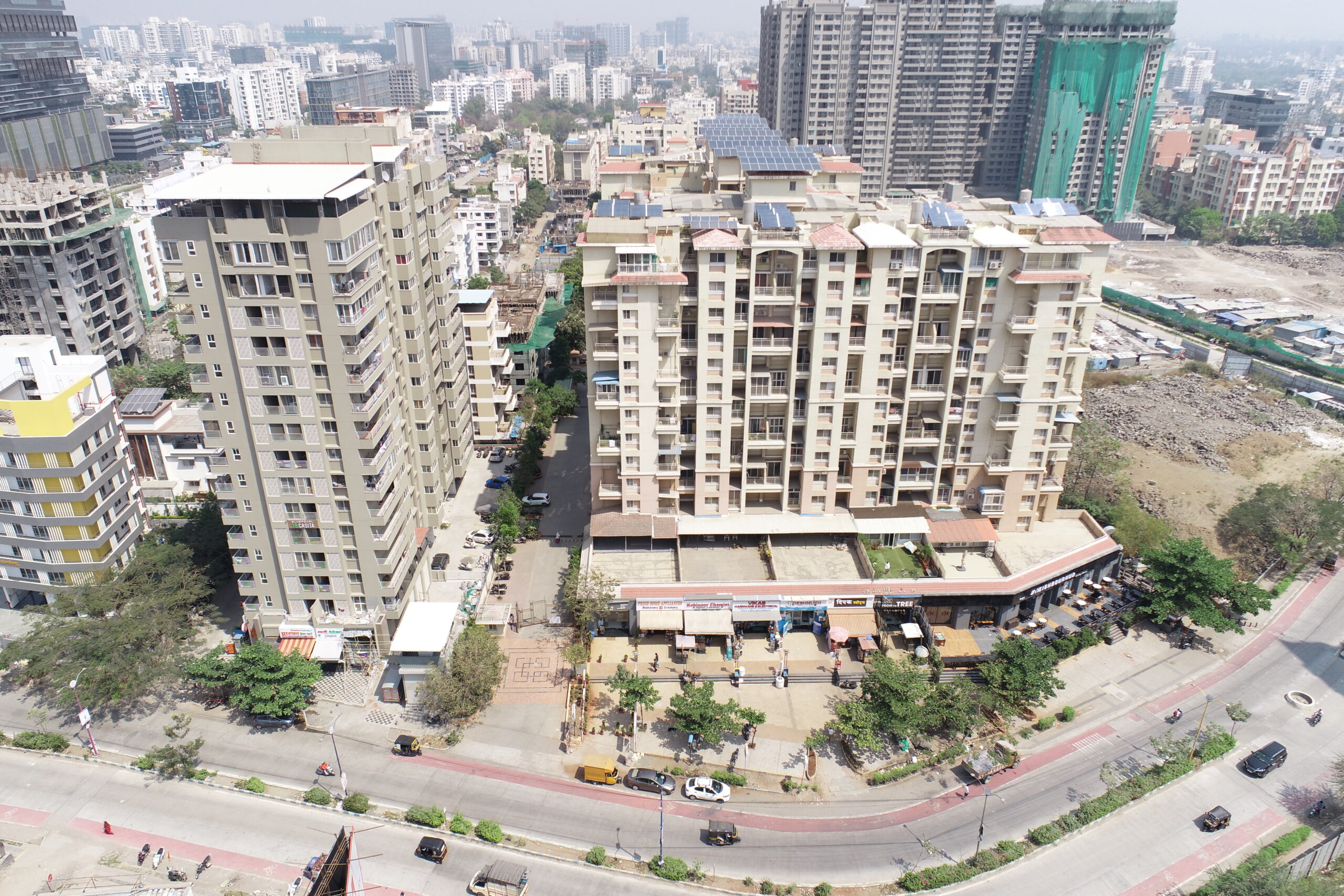
“We use advanced geospatial tech for real estate, enhancing land assessments, planning, collaboration, project monitoring, marketing, and sales.”
Solution's unique features
Unlike traditional mapping methods, our WEB-GIS map solution integrates advanced drone technology with GIS expertise, offering high-resolution mapping data tailored specifically for real estate needs. This unique combination ensures accurate and detailed mapping results, enabling clients to make informed decisions with confidence while transitioning seamlessly from physical to digital workflows.
Application Features
Simplifying Real Estate Decision Making
View landmarks
You can explore the landmarks near your current browsing location.
Plot Distribution and enquiry
Obtaining precise measurements of the plot you’re examining and seeking further information about it.
Visuals
We offer a 360° visualization of the plot or construction site, in either image or video format, with the flexibility to adjust the viewing height.
Detailed Zoom
Enhancing the view of a specific location to provide a clear and precise visualization, complete with a time-lapse of the construction site or plot.
Contact
We offer the option to connect with the contractor through email or phone call, or even schedule an in-person meeting for a comprehensive discussion about the project.
Trust and Support
We're committed to earning your trust through reliable service and dedicated support, ensuring your satisfaction and success every step of the way